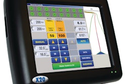
NavCom Technology Inc. announces its enhanced VueStar aerial survey solution, which combines its new StarPac utility software.
- Uses StarFire network to provide precise positioning without RTK base stations, or GPS post-processing
- Computes real-time positions at up to 25 times a second