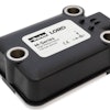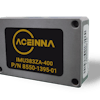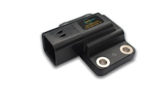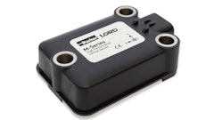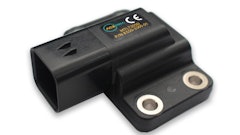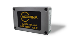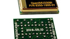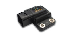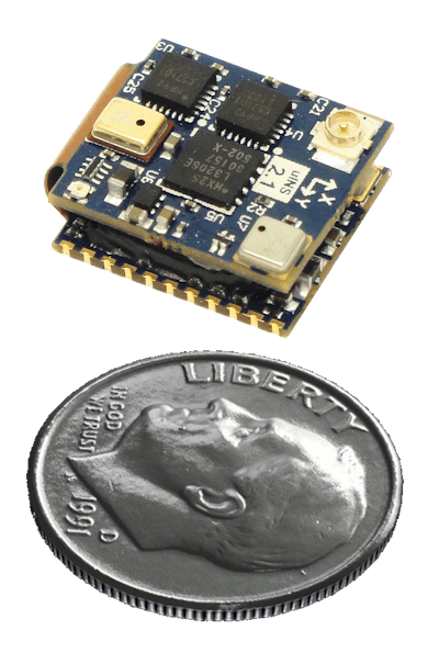
Inertial Sense LLC introduces the uINS-2, a precision GPS aided inertial navigation system (INS) that provides orientation, velocity, position, and inertial measurement unit (IMU) data.
- Combines sensor data from MEMs gyros, accelerometers, magnetometers, barometric pressure, and GPS/GNSS to provide optimal estimation
- Design is 75% the size of the next smallest INS
- Measures 15.6 x 12.5 x 6.3 mm
- Outputs orientation, velocity and position
- Provides persistent position estimation even when GPS signal is lost for outdoor/indoor, tunnel and urban environments
- Features 0.25 degree roll/pitch dynamic accuracy and 0.75 degree heading dynamic accuracy
- Includes comprehensive sensor calibration for bias, scale factor, and cross-axis alignment
- Temperature compensation is -40 to 85 C
- Provides up to 500Hz navigation filter update rate
- Offers data logging using Analyzer PC software
- Available uINS-EVB-1 evaluation board provides single USB connection for power and interface, and connects via breakout headers including serial communications such as TTL, RS232, RS422, RS485, I2C, SPI, and CAN
Fill out the form below to request more information about Inertial Sense uINS-2 GPS Aided Inertial Navigation System

